
|
|
|
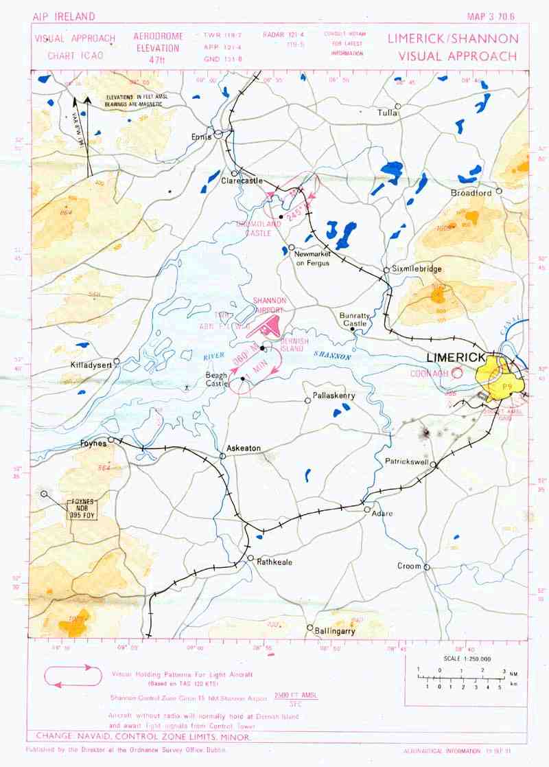
| The above map is a visual approach chart for Shannon airport. It gives landmarks such as the city of Limerick, Coonagh Airfield and Bunratty Castle. This chart is dated September 10, 1991, and was found in near perfect condition. It looks kind of grainy, but that is because it is a full page scanned image (a high resolution copy of the map would take 3 minutes to download). The mapping agency responsible for printing visual charts no longer issues such maps. If you plan on flying under visual flight rules, you would have the option to subscribe to expensive publications issued by the only other charting agency. |